
Pleasantville Neighbors by Parcel
Public records can describe a Pleasantville block without claiming that adjacent people know one another. Start with parcel geography. The county GIS layer supplies the polygon and block/lot context, then the assessment record provides a current owner field, situs address, mailing field, assessment, and sale information where available. A city planning notice uses a different rule, and historic directories belong in a dated household search. Each source should remain attached to the question it can actually answer.
| Source | What It Shows About a Block | Access |
|---|---|---|
| County GIS map | Subject parcel, surrounding parcel IDs, map geometry, and road or right-of-way edges | Public map viewer; layer dates and map disclaimers apply |
| Assessment hub | Owner, situs, mailing field, block/lot/qualifier, class, assessment, and sale fields | Public current snapshot; protected fields may be redacted |
| County Clerk document index | Transfer parties, instrument, date, legal description, book/page, and parcel clues | Public index; images begin March 1, 2000 |
| City 200-foot list | Defined adjacent-owner notice context for a specific planning or zoning project | Request by project, property, and date; not a social roster |
| Ward and community notices | Official civic meeting, ward, date, and topic information | Public city notices; no association member list located |
An assessment owner may live elsewhere, receive mail elsewhere, or be protected by a lawful redaction. A public ownership field therefore confirms a tax-record relationship to a parcel, not who occupies it. For a full named-street chain, use the address methods in the Pleasantville street directory after the immediate block is mapped.
Map Pleasantville Neighbors Parcels
The Atlantic County GIS office and its map layers provide the starting geometry. Define the scope before opening any tax record: side or rear parcel sharing a boundary, a corner parcel, a parcel across a public street, or a project-specific 200-foot notice ring. Roads, bays, rail lines, and rights-of-way can separate parcels even when the screen makes them appear close.
- Locate the subject address in the GIS map and save the parcel ID, situs, block/lot, and map date.
- Identify each nearby polygon individually, marking its relation as side, rear, corner, across street, or separated by a right-of-way.
- Open each parcel in the Atlantic County Property Assessment Search Hub and retain owner, situs, mailing, and B.L.Q. fields as separate values.
- Use the Clerk record only when a transfer question remains, then preserve the instrument date and legal-description key with the parcel.
This address to parcel to adjacent parcel to owner-field flow keeps Pleasantville neighbors grounded in a defined block relationship. It also avoids treating an owner name as evidence of a social tie or current occupancy. Check both street names for a corner lot and use the parcel key for rear or irregular lots.
Pleasantville Neighbors Assessment Fields
The assessment hub works as a current-property cross-check, not a neighborhood roll. Search by owner, property, or block/lot/qualifier when those keys are known, then compare the resulting owner, situs, and mailing fields. The property class, assessment, sale, size, and year-built ranges can help distinguish similarly named parcels, but they do not identify people living on the parcel. A result should carry the search date because ownership, mailing address, and assessed value can change independently.
When the question concerns a recorded transfer, use Atlantic County Clerk BrowserView by party, instrument, book/page, parcel, town, or date. Images are available from March 1, 2000. Earlier record access may require a Clerk request, Archives, or FamilySearch research. The image cutover is not proof that an earlier transfer did not occur.
Note: A current tax result cannot be projected backward to describe historical Pleasantville neighbors on the same block.
Pleasantville Neighbors Planning Ring
Pleasantville's assessor maintains a 200-foot list of adjacent property owners for planning and zoning notice. That is a precise local records mechanic: it relates a particular project or property to a defined group of nearby owners for notice purposes. Ask for the project address, date, and planning context. It is not a general request for all neighbors around an address, and it does not identify a social group or prove occupancy.
The Pleasantville assessor maintains the tax list and can refer to ownership and valuation information. A planning application may add a survey, parking, drainage, landscaping, or site-plan detail, but those documents should be read as property proceedings. Redacted fields remain redacted. The correct result can be “adjacent parcel located; owner field restricted.”
Planning context. The 200-foot list is useful only when tied to a specific project and date. It should not be repurposed into a broad directory of Pleasantville neighbors.
Pleasantville Neighbors Community Context
Official community context is available, but an official Pleasantville neighborhood-association roster or member directory was not located in the inspected sources. City ward and community meeting notices are the defensible umbrella source. They can identify a public meeting, ward, date, and topic without implying who belongs to an association. For an organization not listed by the city, confirm information only through that organization's current contact channel or a library referral.
City Community and Ward Notices
Official notices for community and ward meeting material. Use the notice date and topic as civic context, not as a membership list.
Atlantic County Library Resource Center
Reference librarians can help locate local-history, directory, newspaper, and civic materials when a catalog or current referral is incomplete.
Association Directory Status
[RESEARCH GAP] No official city-published association roster or umbrella member directory was located.
City meeting material appears in this Pleasantville community-notices source.
Use an official notice to understand public civic context around a Pleasantville block without inventing a resident roster.
Pleasantville Neighbors Midtown Edges
Neighborhood names are not parcel boundaries. The Midtown Neighborhood Revitalization Plan defines Midtown west by Route 9, north by the Atlantic City Expressway, south by Bayview Avenue, and east by the bay waterfront. It includes parts of Census Tracts 119 through 122 and references downtown, Lakes Bay, Spyglass, and waterfront work. These are useful geographic anchors when a reader knows only a neighborhood name, but the tax municipality and GIS parcel still determine the record search.
Use the Midtown plan with GIS when a parcel sits near a plan edge. The plan's Route 9, expressway, Bayview Avenue, and waterfront boundaries do not create universal address ranges. A block near the city border also needs a check against parcel geometry and tax municipality rather than a postal name alone.
Pleasantville Neighbors Source Comparison
Official records and compiled neighbor-search products answer different questions. An official source shows the keeper, a defined field set, a date, and a correction route. A compiled category may combine marketing files and public records, but its matching rules, update cycle, and correction handling can be hard to see. Use a current parcel, assessment, Clerk, or city record when an auditable block question needs an answer.
| Official block record | Compiled neighbor-search category | Practical limit |
|---|---|---|
| GIS parcel layer with a map date and geometry | May present nearby names or addresses without the parcel relationship | Define side, rear, corner, or across-street relation from the map |
| Assessment record with owner, situs, and mailing fields | May merge current and older address history | Owner, mailing, and occupant are not interchangeable labels |
| Clerk instrument with date and legal description | May omit the document or source date | Use the instrument to test a transfer question, not a social connection |
Atlantic County's free property-fraud alert is a record-safety tool, not a neighbor service. It can monitor a party name or parcel, recommends party-name monitoring because not every document includes a parcel identifier, and cannot stop a qualifying filing. It helps a parcel holder watch the recording trail without turning a block search into personal surveillance.
The feature is shown at the official Atlantic County property-fraud alert.
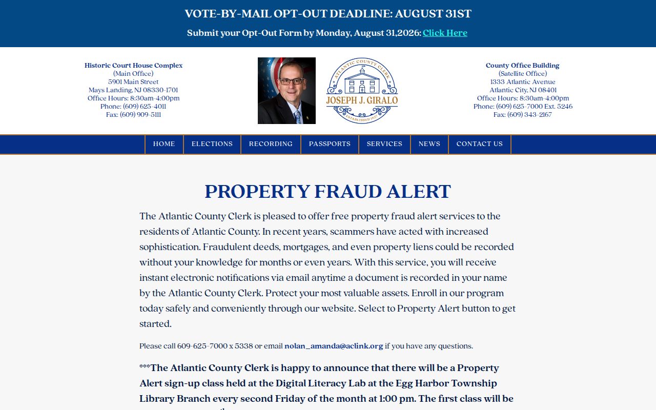
Use the alert's party or parcel option to monitor a property record, while keeping the block search focused on documented parcel relationships.
Pleasantville Neighbors Historical Block
Historical neighbors require a separate, dated workflow. Start with an address and year, then consult reverse or criss-cross directories and census enumeration geography. A historical directory may print a household name, abbreviation, and street address, but its inclusion and spelling are editorial. Census blocks can differ from modern parcel geometry. Use historic street names and nearby landmarks rather than forcing an old entry onto a current map.
For building context, Pleasantville Sanborn maps have 1896, 1906, 1911, 1917, 1924, and 1931 snapshots. They can show a building footprint or use on a street segment. Pair the map with a dated directory entry and deed record. Neither a map label nor an old address proves current ownership or identifies a present neighbor.
Note: A historic block record is a period snapshot and should always retain its printed year, street spelling, and repository.
Pleasantville Neighbors Privacy Boundaries
New Jersey records protect more than a name search can reveal. The Address Confidentiality Program, N.J.S.A. 47:4-1 et seq., can provide qualifying participants with a substitute address for government transactions. Daniel's Law protections can lead to redacted owner or address fields. Voter signatures, identification numbers, and protected addresses are not general public data, and utility or delivery information is not a public parcel field.
The New Jersey Address Confidentiality Program explains the protected-address route. If a parcel field is withheld, preserve the redaction and use the keeper's correction path for an actual record error. Do not join unrelated records to reconstruct a protected identity. Physical adjacency does not establish a relationship, association membership, or permission to contact anyone.
Pleasantville Clerk and registrar functions are outlined in this official City Clerk source.
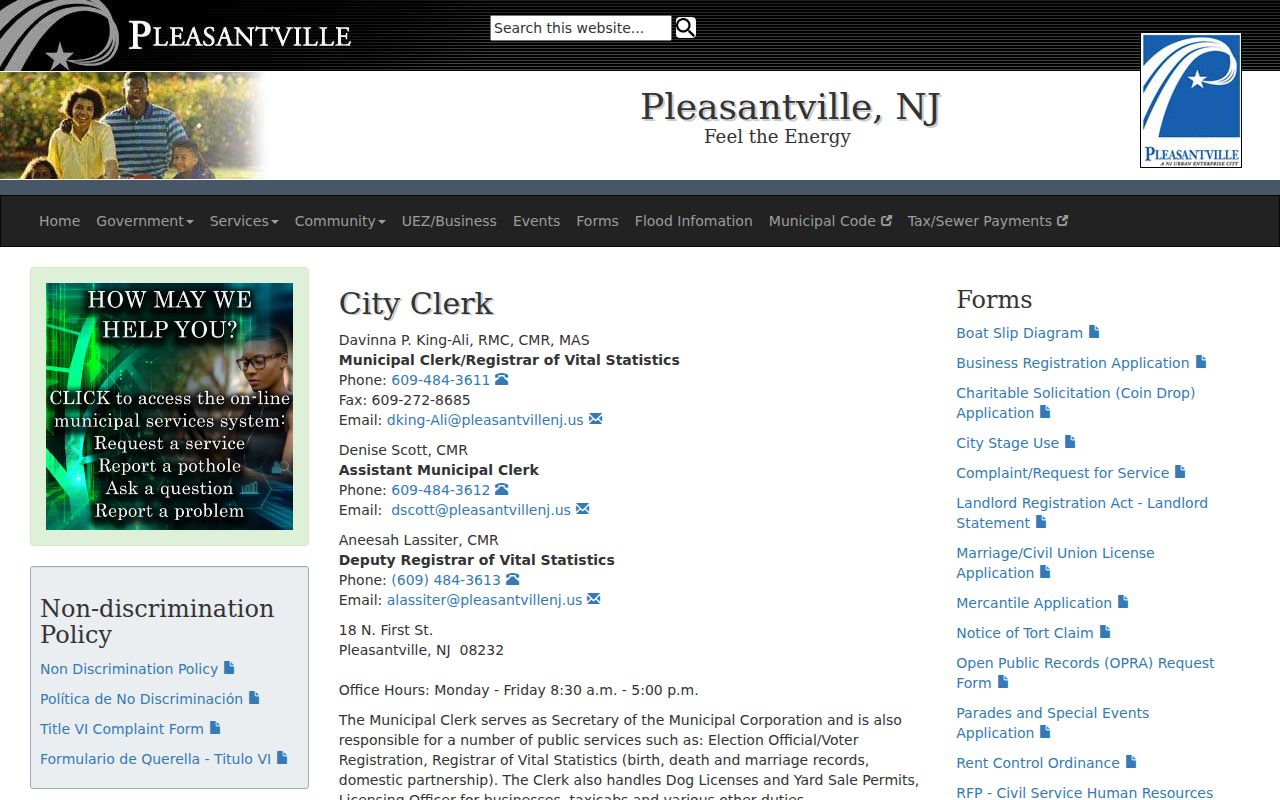
Use the Clerk's public route for a specific municipal record request, keeping the office, record type, date range, and parcel or address key clear.
Lawful use. Use Pleasantville neighbor records for personal, lawful research, property curiosity, and documented civic questions. Do not use parcel or address information to stalk, harass, intimidate, or harm another person.