
Follow a Pleasantville Street Directory Trail
Address research works best as a chain of small checks, not as a roster of people. The Atlantic County assessment hub identifies the parcel and its recorded owner fields. The GIS viewer puts that parcel on a street segment. The County Clerk then supplies the recorded transfer trail when the block, lot, qualifier, owner, or legal description is known. Historic directories can add a dated address listing, but they should remain a period clue rather than a present-day conclusion. Registration records have their own access rules, and the inspected official search did not establish a public street-wide list.
- Search the Atlantic County Property Assessment Search Hub with Town Filter set to Pleasantville and the property text, owner name, or B.L.Q. already known.
- Retain the situs, owner field, block, lot, qualifier, class, sale fields, and the date of the search as separate notes.
- Open the Atlantic County GIS gallery to inspect parcel shape, frontage, nearby streets, and the municipal edge.
- Use the parcel key or owner to search the County Clerk BrowserView for the relevant deed and its prior grantor.
- For an earlier address snapshot, compare the right directory year, historic street spelling, and any printed household notation before linking it to the parcel.
Each result answers a narrower question. A tax owner is not automatically an occupant, a directory line is not a deed, and a map does not replace a survey or legal description.
Search the Pleasantville Street Directory Assessment Hub
The assessment hub is the strongest starting point for a current Pleasantville street directory search because it can filter by Town, Owner Name, Property, or B.L.Q., meaning block, lot, and qualifier. Begin with Town Filter set to Pleasantville. A street number or distinctive property text can narrow the result, while class, sales date, sales price, building square footage, and year built can refine it. At the research inspection, the hub showed an import date of August 27, 2026. That date describes the portal load, not the date a deed was signed or a postal boundary changed.
| Hub control | How to use it | Important limit |
|---|---|---|
| Town Filter | Choose Pleasantville before a broad street or owner search. | Street text alone can reach another municipality. |
| Property | Enter street or address text. | A matching line does not prove an occupant. |
| Owner Name | Search the recorded owner field; portal wildcards are documented. | Owner and resident are different record roles. |
| B.L.Q. Filter | Use block, lot, and qualifier to distinguish related parcels. | Keep a blank qualifier blank rather than guessing. |
| Class and sale filters | Narrow property results by the visible parcel fields. | Assessed value is not a sale price or market value. |
An image from the Pleasantville assessor information page shows the municipal assessor route that supports the county search.
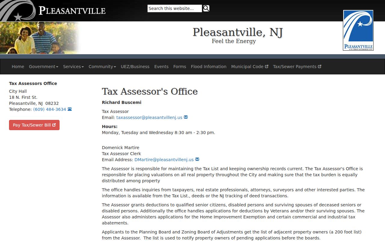
The city assessor maintains the tax list and ownership and valuation information, making a dated block-and-lot inquiry more reliable than a broad request for names.
Map a Pleasantville Street Parcel
Use the county GIS after the assessment search, not as a substitute for it. A parcel polygon can reveal a corner lot, rear parcel, right-of-way, frontage, or boundary condition that a street number hides. Record the parcel identifier, street-facing side, and map date, then return to the assessment hub or Clerk with the legal key. The County GIS describes its products as map information, not a survey, and live layer names or dates should be checked in the viewer.
The New Jersey Property Explorer also supports address, county, municipality, block/lot, and PIN or PAMS searching. Its statewide hosted owner data may have Daniel's Law redactions. A redacted result should remain redacted; combining other sources to defeat that protection is not an appropriate street-directory method.
An image from the state parcel-data page illustrates the statewide parcel route available alongside the county map.
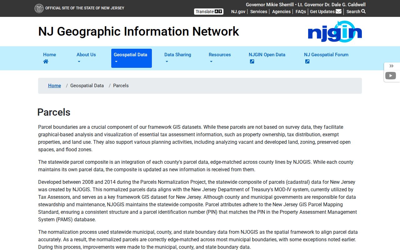
Use the image-supported parcel tools to establish geography first, then use local tax and land records for the named record fields.
Note: County GIS can locate a Pleasantville parcel and its map context, but its displayed geometry is not a boundary survey.
Pleasantville Street Directory Records by Address
The address-keyed sources do not duplicate one another. A street directory search can move between them, provided each field keeps its source and date. The table below keeps the distinction visible and avoids treating any one result as a full account of a household.
| Address record | Custodian | Useful output | Access route |
|---|---|---|---|
| Tax list and assessment | Pleasantville assessor and Atlantic County | Owner, situs, class, assessment, B.L.Q., and sale fields | Hub plus a focused assessor inquiry |
| Parcel GIS | Atlantic County GIS | Polygon, road frontage, nearby parcel geometry, and map layers | Public viewer, with map disclaimer |
| Recorded land document | Atlantic County Clerk | Grantor, grantee, date, instrument or book/page, legal description | BrowserView and Clerk copy route |
| Permit or planning file | Pleasantville construction, zoning, or planning office | Property, file type, applicant, and dated action | Office or specific records request |
| Historic directory | Library and archival collections | Dated address listing and printed household notation | Browse, scan, or reference help |
Municipal permit and planning material should be requested by exact address, approximate year, and record type. A public online permit search was not located in the research, so an unsupported portal claim would be misleading.
Separate Pleasantville Address Fields
Keep the address fields separate when a name appears in more than one record. The assessment mailing line can be a useful lead, but it can also point to another property, a post-office box, an estate contact, or an outdated address. The physical parcel and the durable land-record key carry different weight.
- Situs address
- The physical parcel address used by tax, GIS, and land records.
- Mailing address
- The correspondence line associated with an owner record; it may be somewhere else.
- B.L.Q.
- Block, lot, and qualifier, the parcel key that can distinguish similar street numbers or related units.
- Legal description
- The block/lot, subdivision, metes-and-bounds, or map language that carries title continuity.
- Criss-cross directory
- An address-oriented directory arrangement used to compare a street number with a dated printed listing.
For a border address, add the tax municipality and GIS result to the notes. Pleasantville postal wording and municipal situs are not interchangeable.
Note: A mailing address can be useful for follow-up research, yet it should never replace the parcel situs in a street record.
Match a Pleasantville Parcel to Deeds
Once the assessment record supplies a parcel key, search BrowserView by lot/block, parcel, legal-description wording, town, date, or party. Its documented fields also include document type, consideration amount, instrument number, book/page, map number, and a second-party option. Search a current owner as grantee, add Pleasantville and a suitable date range, then open the purchase deed. Preserve the grantor, grantee, deed date, recording date, instrument or book/page, consideration, and legal description as distinct fields.
The Atlantic County Clerk recorded-document search is the official entry point, and the Clerk's search instructions explain party variants, ALL/ANY logic, linked documents, and book/page research. Parcel-by-parcel legal-description searching is often safer than plain street text because a street can be abbreviated, renamed, or omitted from a document description.
Trace a Pleasantville Street Transfer Chain
A grantee is the party receiving an interest, and a grantor is the party conveying it. After identifying a purchase deed, search the grantor as a prior grantee to step backward through the recorded chain. Linked mortgage assignments, releases, or corrective instruments can explain the file, but a release is not a new ownership transfer. Compare a later deed with the assessment sale field rather than assuming the two dates describe the same event.
Public County Clerk images begin March 1, 2000. When the needed record is older, keep the book/page or other locator and use the Clerk's copy route, the New Jersey State Archives, or the FamilySearch Atlantic County catalog. State Archives guidance identifies Atlantic County deeds and indexes for 1837 through 1900, while the FamilySearch catalog lists deeds through 1908. The portal research did not establish an index-wide online starting year.
Note: March 1, 2000 marks the stated public-image boundary, not a claim that older Atlantic County deed records do not exist.
Pleasantville Street Name History
A verified local name bridge can prevent an address search from stopping too soon. Pleasantville ordinance 20-2005, adopted August 15, 2005, changed Manery Avenue to Mallard Place. Search both names in deeds, directories, maps, and newspapers, then confirm the same block and lot before treating the records as one location. The research found no official citywide renumbering project, so no broader renumbering claim should be made.
Historic spelling can matter even without a formal change. Try N Main, North Main, Main Street, and the printed abbreviation in the source. Compare number ranges with a roadway map and retain the source's wording. A historical directory's “h” notation can mean home or residence in the inspected 1920 transcription, but the entry is still a dated editorial listing.
Pleasantville Adjacent Owner Notices
The city assessor prepares a 200-foot adjacent-owner list for a defined planning or zoning notice. That is a project-specific notice mechanism, not a general social roster for a block. Ask the assessor for the project property, block/lot, and date so the office can apply its own record rules and redactions. Assessor Richard Buscemi is listed at 18 N First Street, 609-484-3634, with listed Monday through Wednesday hours of 8:30 to 2:30.
An image from the Pleasantville municipal forms page points to the city request and form route used when a portal does not supply the needed property file.
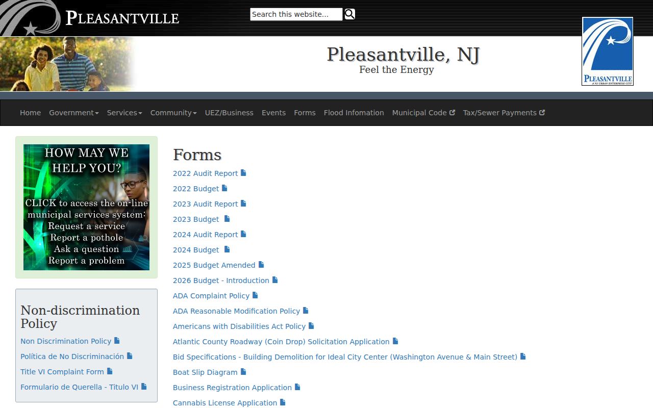
For a permit, certificate, planning file, or other municipal record, a narrow address, record type, and date range give the custodian a usable request.
Pleasantville Historical Street Listings
Historic address work belongs in the period's own materials. Atlantic City Free Public Library holdings include Boyd runs from 1918 through 1922 and Polk runs from 1923 through 1931 that include Pleasantville. The Atlantic County Library house-history guidance places Polk directories in a broader 1910-forward research route. Search by address when a reverse or criss-cross volume exists; when only a surname arrangement is available, compare every same-name entry with street wording and household notation.
The Atlantic City Free Public Library directory holdings and the Atlantic County Library house-history guide are useful starting points. Boyd and Polk used different layouts, abbreviations, and inclusion decisions, so a missing line in one volume does not prove an address disappeared or became vacant.
Note: A historic directory entry is strongest when its year, printed street wording, and any linked parcel record are retained together.
Limits of Pleasantville Street Records
Street-address records can document a parcel, a recorded transfer, a municipal file, or a dated directory entry. They do not establish every person connected with the address, and a street-wide public registration list was not established by the inspected official lookup. New Jersey's Address Confidentiality Program and Daniel's Law can lawfully restrict fields. Where a record is redacted, preserve the redaction and ask the proper custodian about the authorized route instead of trying to reconstruct it.
Lawful use. Pleasantville address records support personal, lawful research about parcels and public files. Do not use an address trail to stalk, harass, intimidate, or harm anyone.
When an online search ends, use the Pleasantville OPRA form for a city record or the Atlantic County OPRA request route for a county administrative record. Name the office, exact address or parcel key, record type, date range, delivery preference, and any acceptable cost. The county's stated copy rates are $0.05 per letter-size page and $0.07 per legal-size page, with possible deposits or special charges.
Note: A precise request is more likely to reach the right Pleasantville or Atlantic County custodian than a broad request for every record connected with an address.