
Pleasantville ZIP Code Directory Coverage
The standard Pleasantville postal ZIP is 08232. The research also identifies a carrier-annex relationship at 08234 and nearby postal areas for Absecon, Northfield, and Atlantic City. Those nearby ZIP codes are useful for checking a border clue, but they do not automatically identify a Pleasantville address. An official polygon for every edge parcel, and a historic ZIP realignment date, were not located in the sources. Use USPS for a specific delivery address and county parcel data for the municipality.
| ZIP code | Relationship to Pleasantville | Post office or facility | Record-search note |
|---|---|---|---|
| 08232 | Standard Pleasantville postal ZIP, including main city delivery. | Pleasantville Post Office, 752 Black Horse Pike. | Verify a supplied address with USPS. |
| 08234 | Pleasantville-area processing and carrier relationship. | Pleasantville Carrier Annex, Egg Harbor Township. | It is not the municipal Pleasantville ZIP. |
| 08201 | Adjacent Absecon postal area. | Specific current office not captured. | A nearby result does not make the parcel Pleasantville. |
| 08225 | Adjacent Northfield postal area. | Specific current office not captured. | Check the municipality in GIS and tax data. |
| 08401 | Adjacent Atlantic City postal area. | Atlantic City-area USPS facilities. | Use as a nearby search expansion only. |
The table is a routing reference rather than a set of city limits. Postal, tax, and map fields should remain in separate columns when an address lies near Absecon or Egg Harbor Township.
Note: The listed nearby ZIP codes are postal search expansions, not proof that an address or parcel belongs to Pleasantville.
Pleasantville ZIP Code 08232
ZIP code 08232 is the clearest city-level postal signal for Pleasantville. The official location listing identifies the Pleasantville Post Office at 752 Black Horse Pike, Pleasantville, NJ 08232-9998. Use the USPS address tool to standardize a full street address rather than copying a ZIP from a name-only result or an older mailing label. A returned ZIP helps route mail. It does not identify a person, prove current presence at a parcel, or replace the municipality recorded by the tax system.
An image from the USPS Pleasantville Post Office listing shows the official facility reference behind the 08232 entry.
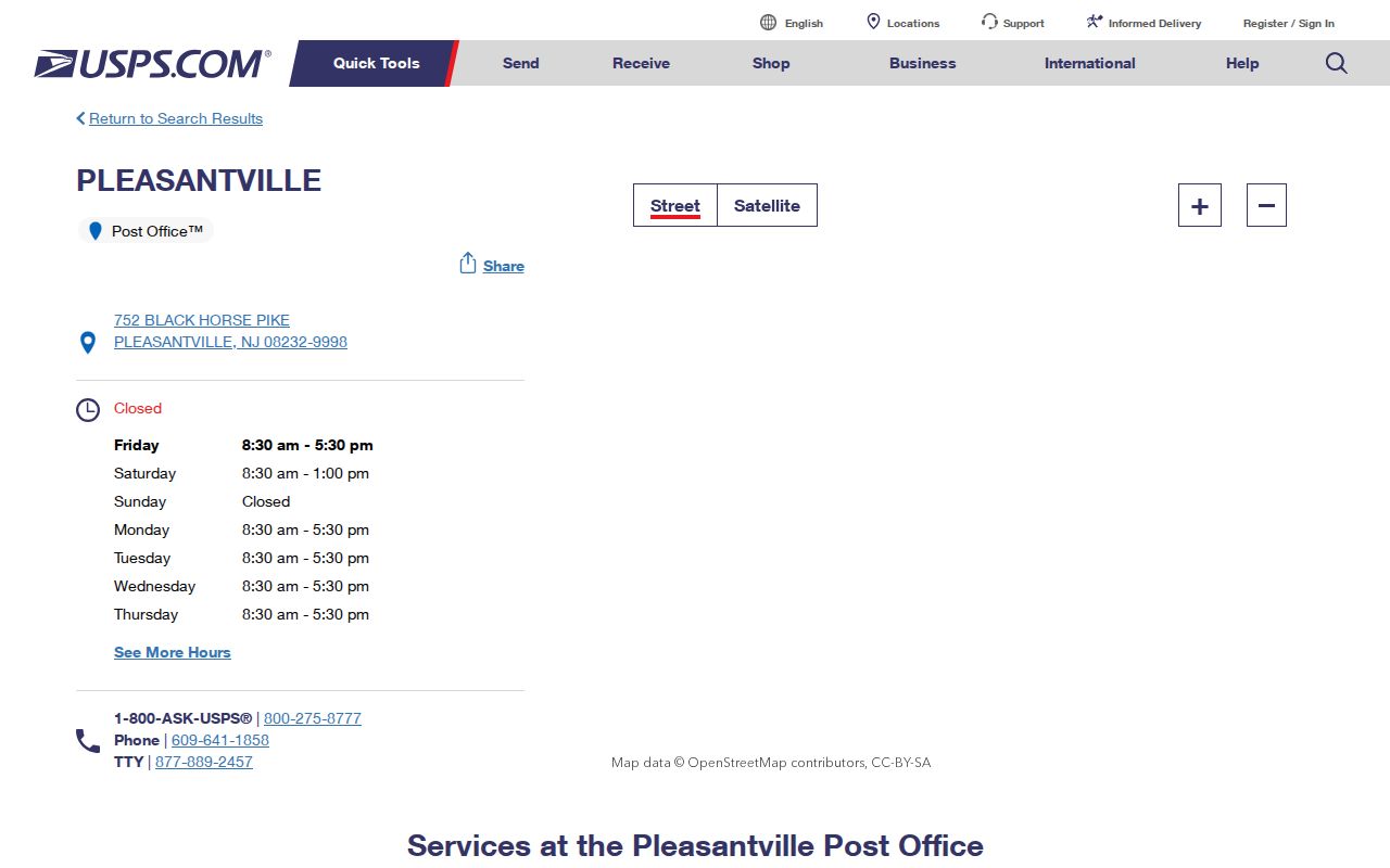
The facility listing supports the postal reference, while the full-address lookup remains the better tool for checking an individual delivery line.
Pleasantville ZIP Code Routing at 08234
A Pleasantville-area delivery clue can show 08234 because USPS facility material identifies a Pleasantville Carrier Annex at 5 Columbus Avenue in Egg Harbor Township, NJ 08234-4062. Preserve both pieces of information: Pleasantville in the facility name and Egg Harbor Township in the facility location. The carrier annex is a processing or routing clue, not proof that a parcel with an 08234 association sits inside Pleasantville.
An image from the USPS facility information documents the Pleasantville-area carrier-annex context.
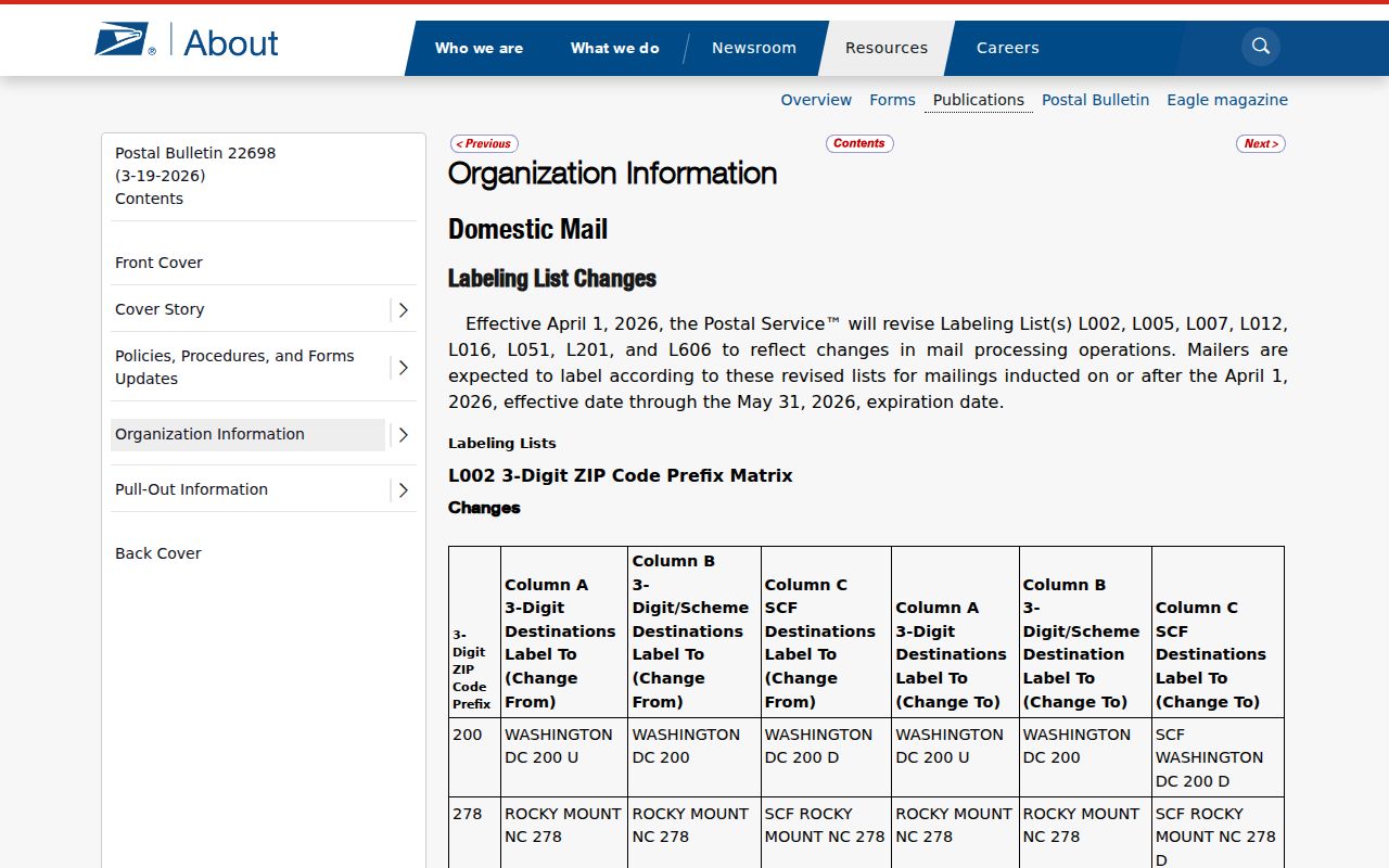
That local mismatch is a reason to compare USPS output with the Atlantic County assessment record and parcel map before describing a location as part of the city.
Pleasantville ZIP Code Directory USPS Fields
USPS offers three related modes. By Address is the first choice when a street line is known. By City and State returns ZIPs associated with that city and state, while Cities by ZIP returns associated city names. The latter two modes are cross-checks, not parcel-boundary decisions. USPS states that a result does not confirm a person or company and cannot guarantee a business location.
| USPS mode or field | Required? | How it helps |
|---|---|---|
| By Address: Street Address | Yes | Normalizes a specific delivery address. |
| By Address: City and State | Yes | Use Pleasantville and New Jersey as the starting location. |
| Company | No | Optional detail; it does not verify an entity's location. |
| Apt/Suite | No | Useful when a street line needs unit-level refinement. |
| ZIP | No in By Address | Can narrow a known address, but should not replace it. |
| By City and State / Cities by ZIP | Yes for each mode | Shows postal associations, not legal boundaries. |
An image from the USPS ZIP Code basics reference supports the postal terminology used in this Pleasantville ZIP code directory.
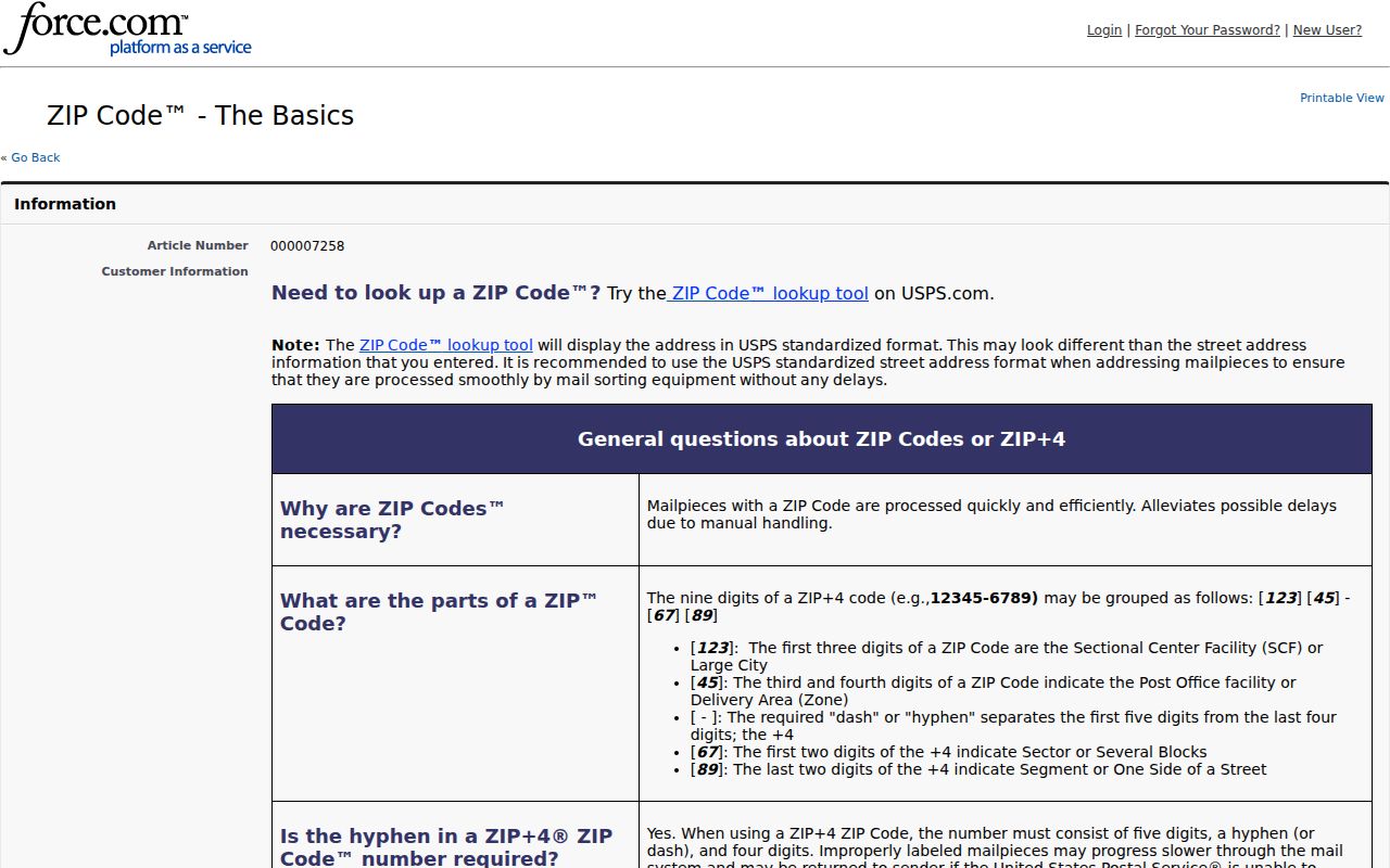
Use the visible USPS controls to test the exact address supplied, including a unit when one is part of the delivery line.
Note: USPS By Address is the most precise documented starting point when the full Pleasantville street line is known.
Verify a Pleasantville ZIP Code Result
A full-address sequence keeps the postal answer tied to the correct parcel. It is more dependable than searching a person name with a ZIP, because official USPS sources do not establish a resident from a ZIP result alone. Keep each result dated and label the source that produced it.
- Copy the street address exactly, including an apartment or suite, then use USPS ZIP Lookup in By Address mode with Pleasantville, New Jersey.
- Save the standardized delivery line, returned ZIP or ZIP+4, USPS mode, and result date.
- Search the Atlantic County assessment hub with Town Filter set to Pleasantville and the property text. If needed, use block, lot, and qualifier.
- Open county GIS to compare the parcel, municipal boundary, and roadway context.
- For address-level record work after the municipality is confirmed, continue with the Pleasantville street directory and its parcel-to-deed method.
If USPS offers more than one address choice, refine the street spelling or unit. Do not use a ZIP-only assumption to move an inquiry into a neighboring municipality.
Pleasantville ZIP Code Portal Limits
USPS and land-record tools answer different questions. The assessment hub's visible controls do not include a ZIP field. It searches Town, Property or address, Owner, B.L.Q., property class, sales fields, building size, and year built. The county GIS may have layer-dependent information, but a ZIP-boundary layer was not captured in the research. The County Clerk likewise does not offer a ZIP-first deed search.
| USPS ZIP Lookup | Use a full address, city/state, or ZIP-to-city mode for postal associations. |
|---|---|
| Atlantic assessment hub | Use Town, Property, Owner, or B.L.Q.; no visible ZIP field was found. |
| NJGIS Property Explorer | Use address, county, municipality, block/lot, or PIN/PAMS to resolve parcel situs. |
| County GIS | Use parcel geometry and metadata; check any live layer's date and disclaimer. |
| County Clerk BrowserView | Use party, town, lot/block, parcel, legal description, book/page, or instrument. |
The assessment inspection showed an import date of August 27, 2026. That is an assessment-data load date, not evidence of a postal update. Parcel ownership fields should also remain separate from claims about who is currently at an address.
Note: A tool without a visible ZIP field can still resolve a parcel when Town, Property, and B.L.Q. are used together.
Pleasantville ZIP Code Border Checks
Pleasantville sits in an Atlantic County border network with Absecon and Egg Harbor Township, while Atlantic City also appears in the broader urban postal geography. A postal city label can therefore differ from the governmental municipality. For a parcel near an edge, inspect the assessment municipality, the County GIS parcel boundary, and the roadway map. The Midtown Neighborhood Revitalization Plan provides local geographic anchors, including Route 9 to the west, the Atlantic City Expressway to the north, Bayview Avenue to the south, and the bay waterfront to the east.
Those plan boundaries are useful context when a street clue is incomplete. They are not universal ZIP ranges or an authority for changing a postal result. A small city land area also does not make ZIP, mailing, and situs fields identical.
Pleasantville ZIP Code Address Terms
These labels often appear together on a search result, but they have different jobs. Recording them separately makes a later review clearer, especially when a delivery facility and a tax municipality point to different places.
- ZIP code
- Postal delivery-routing geography, not a governmental boundary.
- ZIP+4
- An added delivery detail used with a base ZIP; it does not decide municipal situs.
- Postal city
- The USPS-standardized city name associated with delivery, which may differ from a municipality.
- Situs
- The physical parcel address used in tax, GIS, and land-record contexts.
- Carrier facility
- The site where delivery is processed or served, not a person's physical location.
A post-office box is a mailing destination, not a street address for parcel research. The research did not identify a Pleasantville PO-box-only ZIP or a unique ZIP for a single institution, so neither should be inferred.
Note: Postal city and municipal situs can agree, but they remain separate fields that come from different record systems.
Limits of Pleasantville ZIP Code Results
A ZIP lookup normalizes mail delivery. It cannot verify a person or company, prove that a person is connected with an address, establish city limits, or supply a complete historic boundary. The official sources did not locate ZIP polygons for every municipal edge, ZIP+4 ranges, city aliases, or historic realignment dates. Keep that uncertainty visible instead of drawing a definitive boundary from a search response.
Useful record ledger. Preserve the input address, USPS mode, returned city, returned ZIP or ZIP+4, result date, tax municipality, GIS parcel result, and any unresolved mismatch.
Atlantic County's GIS office and assessment hub are the appropriate local cross-checks when USPS output and a municipal question diverge. If an official result changes, save the new date and source rather than assuming the earlier answer was a municipal boundary decision.
Note: A ZIP result is a delivery answer, while the tax municipality and parcel map answer the local-government question.